The survey and design work of marine engineering mainly includes the project designation, engineering feasibility study, special research, preliminary design and construction drawing design, and the corresponding survey work. The survey work is an important component of engineering survey and design section. Engineering survey needs to provide a large number of accurate and reliable geological data for project site selection, general graphic design, structural design and project budget estimation. The results of engineering surveys have a significant and far-reaching impact on engineering design and construction.
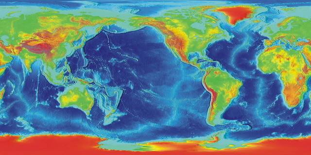
In the demonstration and pre-design stage of the project, geophysical surveys with low cost, high efficiency and large coverage area are usually one of the necessary survey methods. According to the statistics of the Engineering Physics Laboratory of the University of Michigan, 153 marine projects (incomplete statistics, mainly in oil pipelines, transnational optical cables, drilling) were collected in the Pacific Rim and the South Atlantic region as early as 10 years ago (about 2003-2007). The platform is mainly based on 139 items using front-bottom detection and seismic exploration technology (based on acoustic sources), 127 using sonar technology, and 82 using ocean magnetic technology.
Domestic marine engineering, such as cross-sea bridges, offshore wind power, oil drilling, etc, are also increasingly using geophysical technology for engineering construction services.

Geophysical survey is an indirect survey method. It is low cost, high efficiency and large coverage area of meeting the requirements of reliable, efficient, safe and environmentally friendly engineering survey.
Geophysical survey has three main aspects:
01 Provide a macroscopic and reliable geological basis for the preliminary work of the project
02 Eliminate hidden dangers such as potential obstacles in construction projects and reduce engineering construction risks
03 Provide a reliable basis for the calculation of various types of rock and soil dredging in dredging projects
Geophysical survey method in marine engineering
The preliminary work of marine engineering mainly focuses on the performance demonstration. It requires geological exploration to provide reliable regional geological results. Geophysical exploration is one of the mandatory methods.
Marine geophysical survey methods include:
1. Earthquake method (reflection, refraction);
2. Gravity measurement method;
3. Magnetic measurement method;
4. Geothermal measurement methods;
5. Water depth measurement method (single beam, multi beam);
6. Electromagnetic measurement methods.
● The shallow section method has high resolution: For the investigation of soft soil layer, it mainly includes silt, silty soil and cohesive soil layer;
● EDM earthquakes have both resolving power and penetrating power, mainly for the exploration of major geotechnical layers, including silt, silty soil, cohesive soil, sand layer, residual soil layer and bedrock;
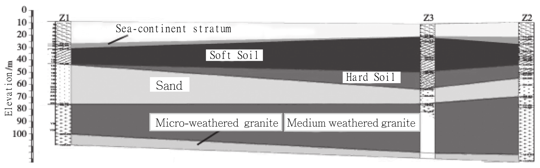
A geological section based on the results of the drilling

Comprehensive mapping of geologic profiles based on geophysical and borehole results
Marine geophysical survey example
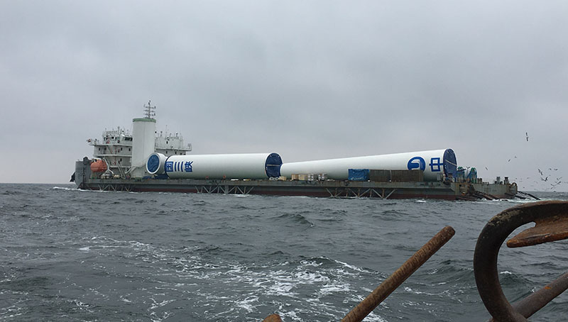
In this case, a multi-mode shallow stratigraphic profile and seismic section integrated data acquisition system was used for sea trials in the sea area near Dalian. It was mainly used for preliminary exploration of offshore wind power projects, clarifying the geological conditions of the work area and determining the bedrock surface.
Survey equipment
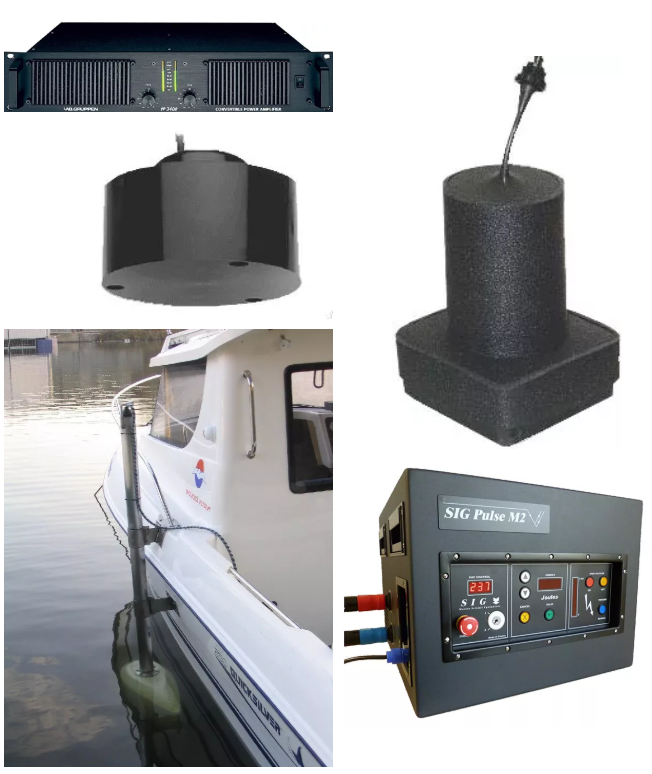
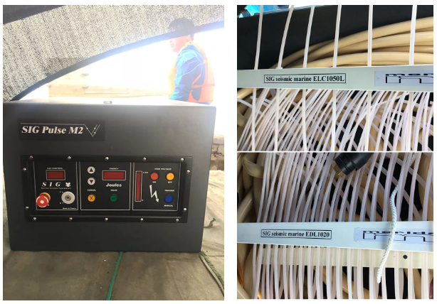
The MD DSS multi-mode shallow stratigraphic profile and seismic profile integrated data acquisition system from Meridata, Finland, consists of a 2-9 kHz, 10-20 kHz dual-frequency shallow profiler and a 2000J spark source.
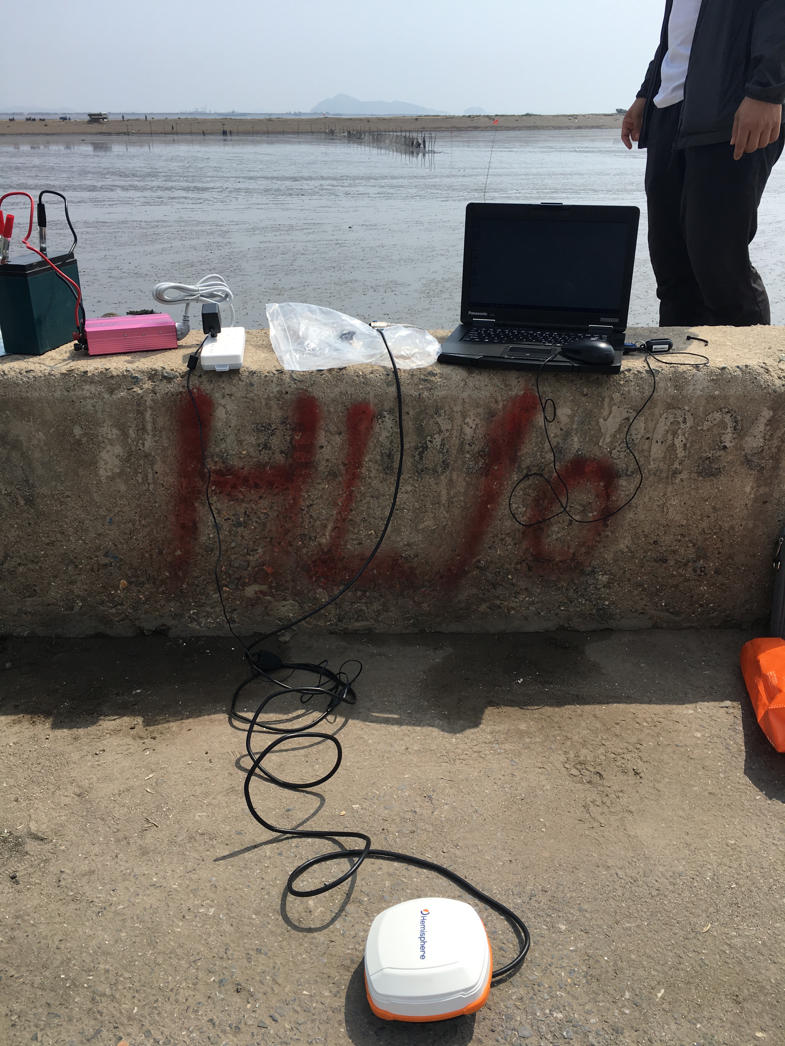
Start testing
1 The GNSS is compared with the control points to determine the MDCS software coordinate system
Note: The MD DSS system contains almost all the major coordinate system parameters in the world, including China's 54, 84, 2000, etc. Editable ports are reserved for subsequent supplementation.
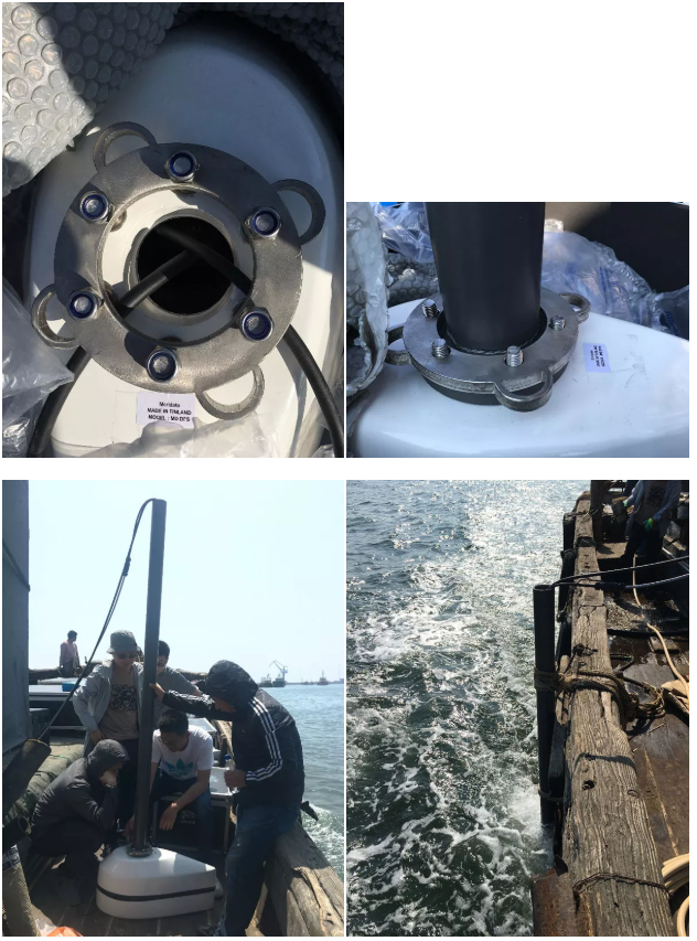
2 Installation of shallow section fixed table (double frequency shallow section transducer placed in white fairing)
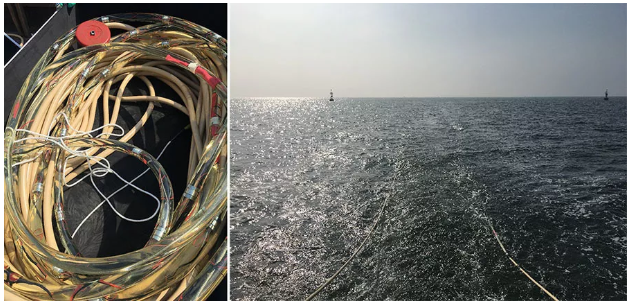
3 2000J spark source box and fishbone electrode
4 EDM towline: A total of 32 electrodes for a single cable and 15 meters for a cable.
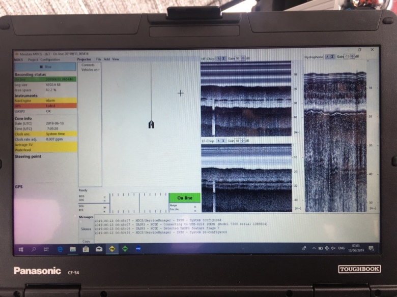
5 The MDCS acquisition software displays shallow section and spark data in real time.
Conclusion
The sea trial obtained a better data of the bedrock surface of the work area, which facilitated subsequent borehole survey and obtained clear geological data.
Meridata
Meridata is a well-known company specializing in the design and manufacture of high-resolution marine geophysical survey systems and their corresponding software in Finland. Since its inception in 1977, Meridata has been dedicated to the research of professional acoustic survey equipment and seabed survey systems.
Meridata's clients include a number of civil and government organizations engaged in hydrology, marine geology, geophysical and environmental surveys in the oceans, nearshore or inland waters.
Meridata's MD DSS multi-mode sonar system is compatible with most shallow profilers, seismic sources (Boomers, EDM), side-scan sonars, single-beam depth sounders, multi-beam echo sounders, magnetometers, etc. Different frequency water exploration equipment can improve exploration efficiency.
For more information, please contact Earth Products China Limited
Service hotline: 400-700-9998
Email: marketing@epc.com.hk
Official website: www.alannabailey.com


 Enquiry:hkmarketing@epc.com.hk
  Whatsapp Enquiry: +85261990717